
Radar Tracks Bug Swarms
Every year, a squadron of up to 9.3 trillion insects flies through eastern China's night skies, threatening to cause over 20 million tonnes of crop losses.
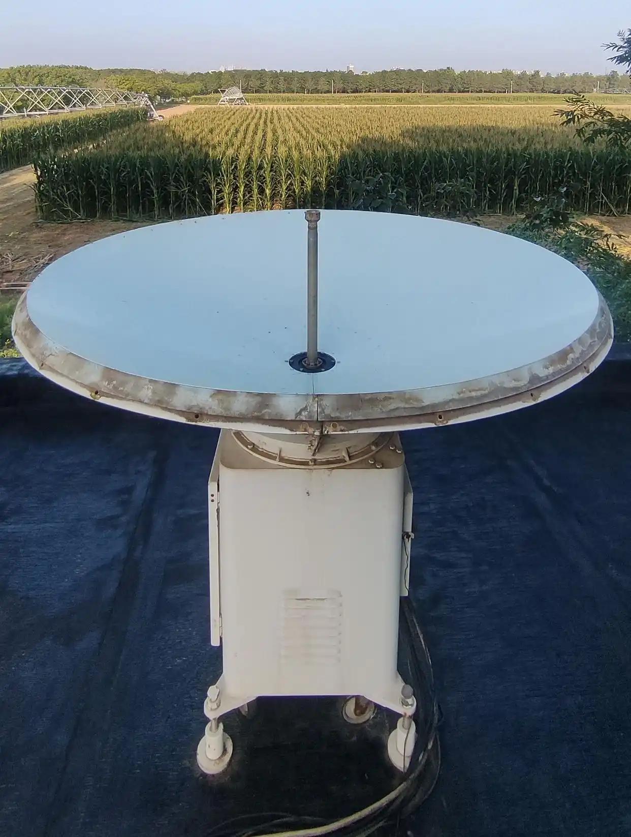
For decades, plant protection scientists have been fighting this phenomenon, while working with their hands tied. Traditional insect radars, the only tools capable of tracking these nocturnal high-altitude bugs, had a fatal flaw: a large detection blind zone. Now, after 20 years of painstaking research, a Chinese team has developed a world-leading high resolution, vertically looking radar (VLR), that rewrites the rules of pest monitoring.
Conquering the radar blind zone
Conventional VLRs were hampered by structural limitations. Because they used the same antenna for transmitting and receiving signals, they could not detect anything closer than about 150 meters above the ground. This meant that the critical low-altitude zone where many pests begin or end their migration was simply invisible, missing the most urgent threats.
"We realized the problem wasn't just hardware; it was how we defined a signal," said Professor Feng Hongqiang, who led the research at the Henan Academy of Agricultural Sciences. The breakthrough came during an exchange with a Swedish laser radar expert. The team realized they could borrow a "dynamic threshold" concept from laser technology to revolutionize insect radar.
Professor Feng's team developed a novel algorithm, instead of using a fixed noise cut-off, which either missed small insects or triggered thousands of false alarms. It calculates an independent noise baseline for every 1.875-meter altitude layer in real time, dynamically adjusting the threshold to capture weak, previously discarded signals out of the background noise.
The team's three years of challenging field research — living through 40°C summer days and sleepless mosquito infested nights — was rewarded by a historic achievement. For the first time, a clear radar echo from an insect flying at an altitude of just 70 meters flickered onto their screen. The blind zone had been shattered, giving their system the world's most accurate low-altitude detection capability.
Three steps to identify insects
However, the new high resolution meant a single insect crossing the radar beam was measured more than 10 times, creating an excess of redundant data. Without a way to quickly identify which signal matched which insect, the system could crash under its own computing load.
Again, there was no international blueprint to follow. Other labs, notably in Australia, still used a cumbersome "10-step method" to process data.
The solution came from a young researcher, Tian Guo, who had just returned from studying abroad. "I used to work on extracting cars from video footage," he recalled. "One day, I asked myself: Why can't we treat radar echoes like images?"
This simple question led to an innovative three-step system. First, the algorithm applies the new dynamic noise threshold. Second, it converts the filtered signals into a binary bitmap — showing white for a potential insect and black for noise. Third, it employs computer vision software to instantly and accurately capture every complete insect target, even separating overlapping echoes.
The innovation slashed data processing complexity by 70 percent and improved efficiency more than tenfold. It can also accurately distinguish overlapping insects, eliminate duplicate data, and achieve full target recognition.
Reliable calibration system
A radar is only useful if its measurements are accurate. Conventionally, calibration requires a dedicated, million-dollar facility. Every time a radar needed repair, it had to be shipped back to a central site — a logistical and financial nightmare.
To overcome this hurdle, the team built a radical alternative with readily available material, which they called "natural calibration."
For altitude, they flew a multi-rotor drone at a measured 200 meters, using its precise GPS and a laser rangefinder to correct the radar's height data.
To calibrate insect mass, they compared the radar's maximum detection range for different insects with theoretical models, then cross-referenced with actual insects caught in a light trap.
Calculating movement required using standard weather balloons to map wind profiles and perform a regression analysis with the radar's insect velocity data.
This approach cut calibration costs to just one-tenth of the traditional method and allowed for flexible field operation. After extensive testing across China, the radar was ready.
In October 2025, the radar received the FAO's Global Technical Excellence Award for plant health management. Now fully automated, it monitors insects from 70 meters up to 1,810 meters, tracking their mass, wingbeat frequency, and three-dimensional flight path with unprecedented clarity.
After 20 years of chasing phantoms in the dark, Professor Feng's team is now able to track insect swarms, and ultimately prevent any threats posed.